


Download PDF
Rogue Valley Transit Builds Better Routes Using Data
Technology Category
- Analytics & Modeling - Predictive Analytics
- Functional Applications - Fleet Management Systems (FMS)
Applicable Industries
- Cities & Municipalities
- Transportation
Applicable Functions
- Business Operation
- Logistics & Transportation
Use Cases
- Fleet Management
- Predictive Maintenance
- Process Control & Optimization
Services
- Data Science Services
- System Integration
The Challenge
In 2014, RVTD faced a budget crunch and needed to cut services if they could not secure additional funding. They proposed a property tax levy, but it did not pass, forcing them to make tough routing decisions. Using stop-level data from Streets ITS and APCs, RVTD identified areas where they could shorten and streamline routes to improve efficiency while minimally impacting riders. For instance, they cut service to the airport, which had low ridership, thereby shortening the route and allowing for more efficient use of driver time. In 2016, RVTD proposed another property tax levy, which passed, providing additional funding. They aimed to use this funding efficiently to improve services. Using time-point level route-schedule adherence data, they identified that riders on route 60 were often missing their connections due to late arrivals at the transit hub. They made targeted adjustments to the route to improve on-time performance and reduce missed connections.
About The Customer
Rogue Valley Transit District (RVTD) is an award-winning public agency based in Medford, Oregon, providing fixed route service to seven communities in Jackson County. The agency operates 26 fixed route buses across 8 routes. In June 2017, RVTD received the CTAA award for Urban Community Transportation System of the Year, recognizing their responsiveness to customer and community needs. Jon Sullivan, Transit Planner at RVTD, attributes their success to the use of fixed route software, which has been crucial in enhancing customer service. The agency has demonstrated a commitment to making data-driven decisions to optimize their services, even in the face of budget constraints.
The Solution
RVTD utilized ridership and RSA data to make informed decisions about route adjustments. In 2014, when faced with budget constraints, they used stop-level data from Streets ITS and APCs to identify low-ridership stops, such as the airport, and cut services to improve efficiency. This allowed them to shorten routes and make better use of driver time. In 2016, after securing additional funding through a property tax levy, RVTD aimed to use the funds efficiently to enhance services. They used time-point level route-schedule adherence data to identify issues with on-time performance on route 60. By making small changes to the route pattern, such as bypassing a residential neighborhood and consolidating stops, they improved the bus's arrival time at the transit hub, reducing missed connections for riders. These data-driven decisions have enabled RVTD to provide excellent service and be responsive to customer needs, even with limited resources.
Operational Impact
Quantitative Benefit
Related Case Studies.

Case Study
Turning A Stadium Into A Smart Building
Honeywell created what it called the “intelligent system” for the National Stadium in Beijing, China, turning the venue for the opening and closing events at the 2008 Summer Olympics into a “smart building.” Designed by highly controversial artist Ai Weiwei, the “Bird’s Nest” remains one of the most impressive feats of stadium architecture in the world. The 250,000 square meter structure housed more than 100,000 athletes and spectators at a time. To accommodate such capacity, China turned to Honeywell’s EBI Integrated Building Management System to create an integrated “intelligent system” for improved building security, safety and energy efficiency.
.png)
Case Study
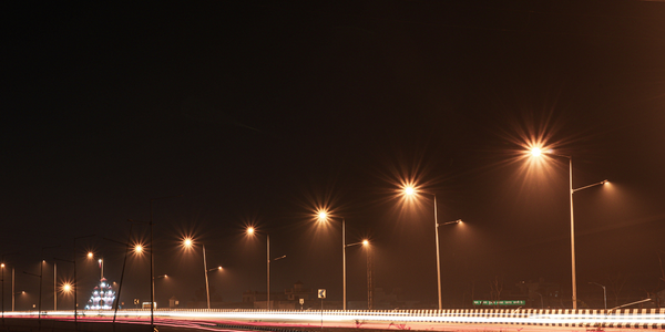
Smart Street Light Network (Copenhagen)
Key stakeholders are taking a comprehensive approach to rethinking smart city innovation. City leaders have collaborated through partnerships involving government, research institutions and solution providers. The Copenhagen Solutions Lab is one of the leading organizations at the forefront of this movement. By bringing together manufacturers with municipal buyers, the Copenhagen Solutions Lab has catalyzed the development and deployment of next-generation smart city innovations. Copenhagen is leveraging this unique approach to accelerate the implementation of smart city solutions. One of the primary focus areas is LED street lighting.
Case Study
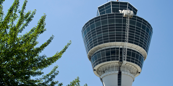
Airport SCADA Systems Improve Service Levels
Modern airports are one of the busiest environments on Earth and rely on process automation equipment to ensure service operators achieve their KPIs. Increasingly airport SCADA systems are being used to control all aspects of the operation and associated facilities. This is because unplanned system downtime can cost dearly, both in terms of reduced revenues and the associated loss of customer satisfaction due to inevitable travel inconvenience and disruption.

Case Study
IoT-based Fleet Intelligence Innovation
Speed to market is precious for DRVR, a rapidly growing start-up company. With a business model dependent on reliable mobile data, managers were spending their lives trying to negotiate data roaming deals with mobile network operators in different countries. And, even then, service quality was a constant concern.
Case Study
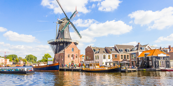
Buoy Status Monitoring with LoRa
The Netherlands are well-known for their inland waterways, canals, sluices and of course port activities. The Dutch Ministry of Infrastructure indicates that there are thousands of buoys and fixed items in and near water environments that would profit from IoT monitoring. One of the problems with buoys for example, is that they get hit by ships and the anchor cable breaks. Without connectivity, it takes quite some time to find out that something has happened with that buoy. Not to mention the costs of renting a boat to go to the buoy to fix it. Another important issue, is that there is no real-time monitoring of the buoys at this moment. Only by physically visiting the object on the water, one gains insight in its status.
