


下载PDF

Wecity: Using Location Intelligence to drive sustainable mobility strategies in smarter cities
技术
- 分析与建模 - 实时分析
- 平台即服务 (PaaS) - 连接平台
适用行业
- 城市与自治市
- 运输
适用功能
- 物流运输
用例
- 实时定位系统 (RTLS)
- 智慧城市运营
服务
- 数据科学服务
挑战
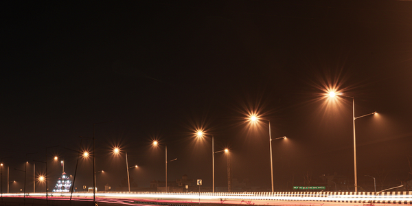
Wecity, a sustainable mobility app, wanted to crowdsource and visualize smartphone-generated location data collected from thousands of users every month, for both their web and mobile app. They needed a location technology that would allow them to seamlessly collect, visualize and analyze user-routing data from cities and governments, and also about intermodality for potential partners, to create safety insights and indicators for its users. They also wanted to create a compelling platform by embedding maps that were beautiful and easy to use, as well as in line with the rest of their app.
关于客户
Founded in Italy in 2014, Wecity is a sustainable mobility app that rewards citizens using greener transport methods like cycling and public transportation. Wecity has gamified this process by providing an interface in which commuters who choose to travel smart around their cities – and therefore reduce their carbon footprint – are rewarded with credits. Wecity does this in several ways, such as providing a platform for carpooling and also with street safety mapping for bikers in major Italian cities, therefore enabling a faster adoption of sustainable mobility. Creating unique mobility and modality insights every day, they are also working with local governments to see how their data can help build smarter cities across Europe.
解决方案
Wecity started using CARTO Builder in 2016, which enabled them to map street safety for bikers across 18 cities in Italy by using Location Intelligence technologies. CARTO’s CSS has enabled the company’s product and design team to create clear and compelling visualizations, using features such as the torque function (now animated) to render journeys through time. Over time, the Wecity team realized that manipulating data with CARTO Builder was easy with its widget-driven interface, since Builder is known for making Location Intelligence accessible to business users and not just developers with coding skills.
运营影响
数量效益
相关案例.

Case Study
Turning A Stadium Into A Smart Building
Honeywell created what it called the “intelligent system” for the National Stadium in Beijing, China, turning the venue for the opening and closing events at the 2008 Summer Olympics into a “smart building.” Designed by highly controversial artist Ai Weiwei, the “Bird’s Nest” remains one of the most impressive feats of stadium architecture in the world. The 250,000 square meter structure housed more than 100,000 athletes and spectators at a time. To accommodate such capacity, China turned to Honeywell’s EBI Integrated Building Management System to create an integrated “intelligent system” for improved building security, safety and energy efficiency.
.png)
Case Study
Smart Street Light Network (Copenhagen)
Key stakeholders are taking a comprehensive approach to rethinking smart city innovation. City leaders have collaborated through partnerships involving government, research institutions and solution providers. The Copenhagen Solutions Lab is one of the leading organizations at the forefront of this movement. By bringing together manufacturers with municipal buyers, the Copenhagen Solutions Lab has catalyzed the development and deployment of next-generation smart city innovations. Copenhagen is leveraging this unique approach to accelerate the implementation of smart city solutions. One of the primary focus areas is LED street lighting.

Case Study
Airport SCADA Systems Improve Service Levels
Modern airports are one of the busiest environments on Earth and rely on process automation equipment to ensure service operators achieve their KPIs. Increasingly airport SCADA systems are being used to control all aspects of the operation and associated facilities. This is because unplanned system downtime can cost dearly, both in terms of reduced revenues and the associated loss of customer satisfaction due to inevitable travel inconvenience and disruption.

Case Study
IoT-based Fleet Intelligence Innovation
Speed to market is precious for DRVR, a rapidly growing start-up company. With a business model dependent on reliable mobile data, managers were spending their lives trying to negotiate data roaming deals with mobile network operators in different countries. And, even then, service quality was a constant concern.
Case Study
Buoy Status Monitoring with LoRa
The Netherlands are well-known for their inland waterways, canals, sluices and of course port activities. The Dutch Ministry of Infrastructure indicates that there are thousands of buoys and fixed items in and near water environments that would profit from IoT monitoring. One of the problems with buoys for example, is that they get hit by ships and the anchor cable breaks. Without connectivity, it takes quite some time to find out that something has happened with that buoy. Not to mention the costs of renting a boat to go to the buoy to fix it. Another important issue, is that there is no real-time monitoring of the buoys at this moment. Only by physically visiting the object on the water, one gains insight in its status.
